About Emporia State University
PREPARING STUDENTS FOR LIFELONG LEARNING, REWARDING CAREERS AND ADAPTIVE LEADERSHIP
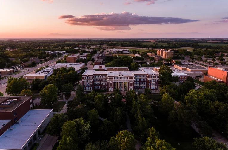
Why Emporia State University
ESU is an intensely personal, welcoming campus community. We challenge the idea of what education is in the minds of our students. We provide real-world, hands-on learning experiences that helps students uncover what they can offer the world because of what they start here.
Emporia State University Stats and Info
Enrollment
4,824
Career Outcomes (4 yr. avg)
98%

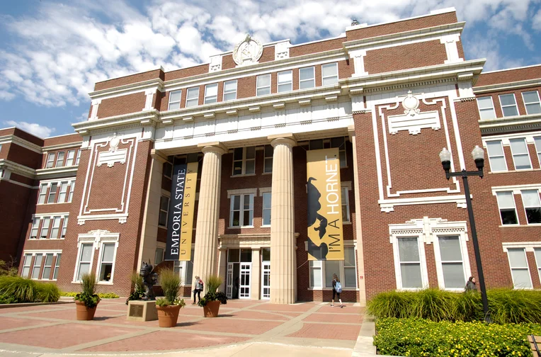
Emporia State University
Founded 1863
Colors, Black and Gold
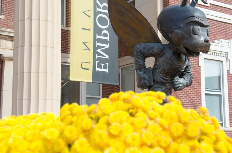
Mascot, Corky the Hornet
Read About ESU's History and Traditions
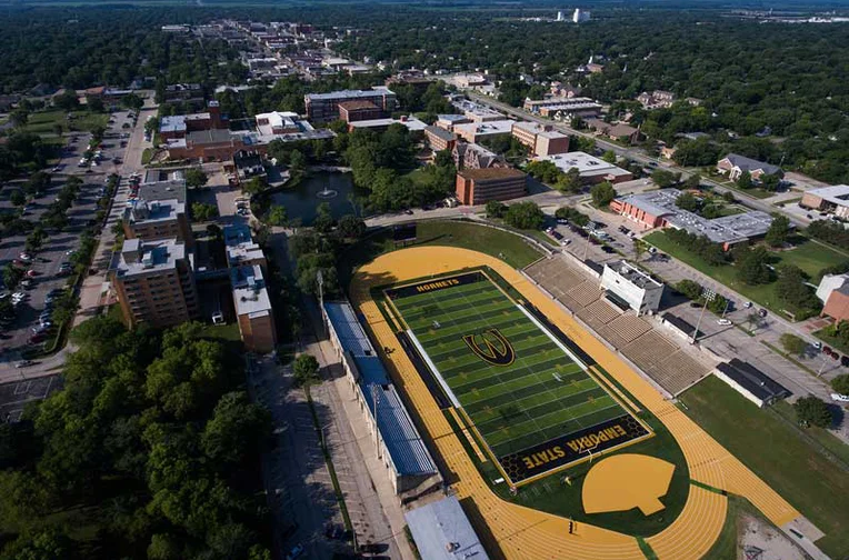
Explore Campus

Emporia State University is innovating its campus continually to ensure our students have access to cutting-edge residence halls, research facilities, labs and classrooms.
Colleges and Schools
Emporia State University offers undergraduate and graduate academic programs within its colleges and schools: School of Library and Information Management, School of Business and Technology, School of Humanities and Social Sciences, School of Science and Mathematics, School of Visual and Performing Arts, The Teachers College and School of Applied Health Sciences.
Leadership, Faculty and Staff
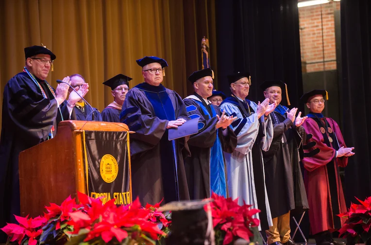
Leadership, faculty and staff
ESU operates under a shared governance model.
For the Community
Attractions and Resources
Learn more about the Attractions and Resources at Emporia State University.
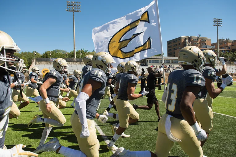
Event Tickets
Buy tickets to watch Hornet Athletics, a theatre production or music performance.
Purchase Tickets
University Business

Business Office
Providing fiscal services to the campus and serves as an interface with external agencies on fiscal matters.
Accreditation, Consumer Information and Compliance
View ESU's institutional accreditations.

Partner Institutions
Partnerships with other academic institutions provides options for students.
Discrimination and Harassment, Response and Prevention
Learn more about discrimination, harassment, Title IX.